Nature-Related Risks and Opportunities
Lead: Nicola Ranger
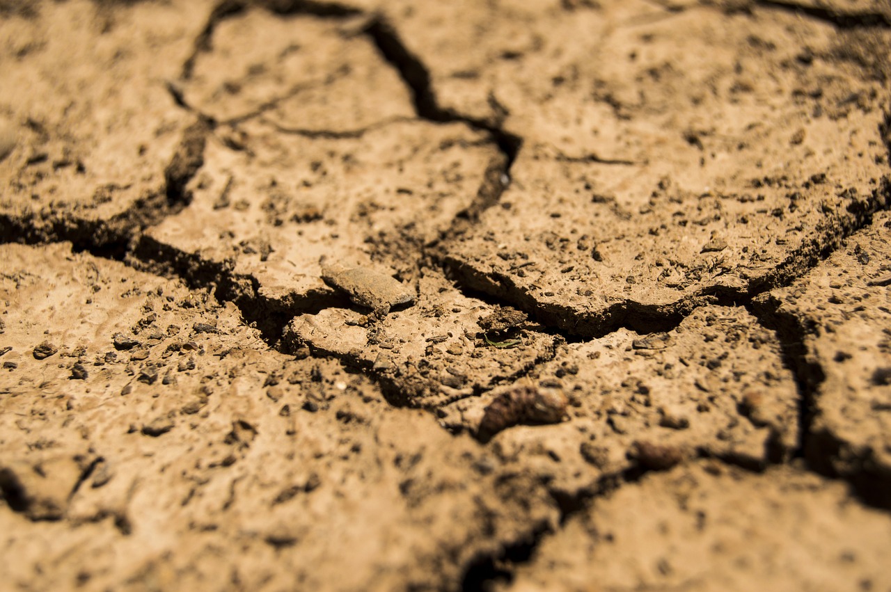
Pilot 3 explores how Earth Observation (EO) can be used to enhance assessment of nature-related financial risks, with a focus on soil degradation caused by water erosion and its implications for risks linked to agriculture and supply chains.
Soil erosion is one of the most significant forms of land degradation globally. The loss of topsoil reduces agricultural productivity, degrades ecosystem services and can create economic risks for agricultural producers, food supply chains and financial institutions exposed to these sectors. However, consistent spatial monitoring of soil erosion and assessment remains challenging due to limited ground observations and the complexity of erosion processes.
This pilot leverages advances in EO and geospatial modelling to generate spatially explicit estimates of soil erosion over time and explore the relationship between soil degradation and financial risk. The pilot follows a two-stage approach. First, EO data and ancillary datasets are used to generate historical maps of soil degradation at medium spatial resolution, covering the past decade. Second, the pilot explores scenario analyses to assess how changes in land use and land management could influence future soil erosion, including opportunities for investment.
Europe is used as the primary case study due to the availability of agricultural statistics and supporting datasets. The new data is piloted by the London School of Economics and Political Science as part of ongoing collaborations on its Nature-Related Value at Risk (NVaR) Framework with the European Central Bank, Norges Bank Investment Management (NBIM) and Aviva. The pilot demonstrates how EO-derived indicators of soil degradation can support improved risk assessment for agriculture, land use planning and nature-related financial decision-making.

